Site Documentation Available
Each continuous monitoring site has its own documentation that provides information on location, description, influences, instruments, and any revisions to the station.

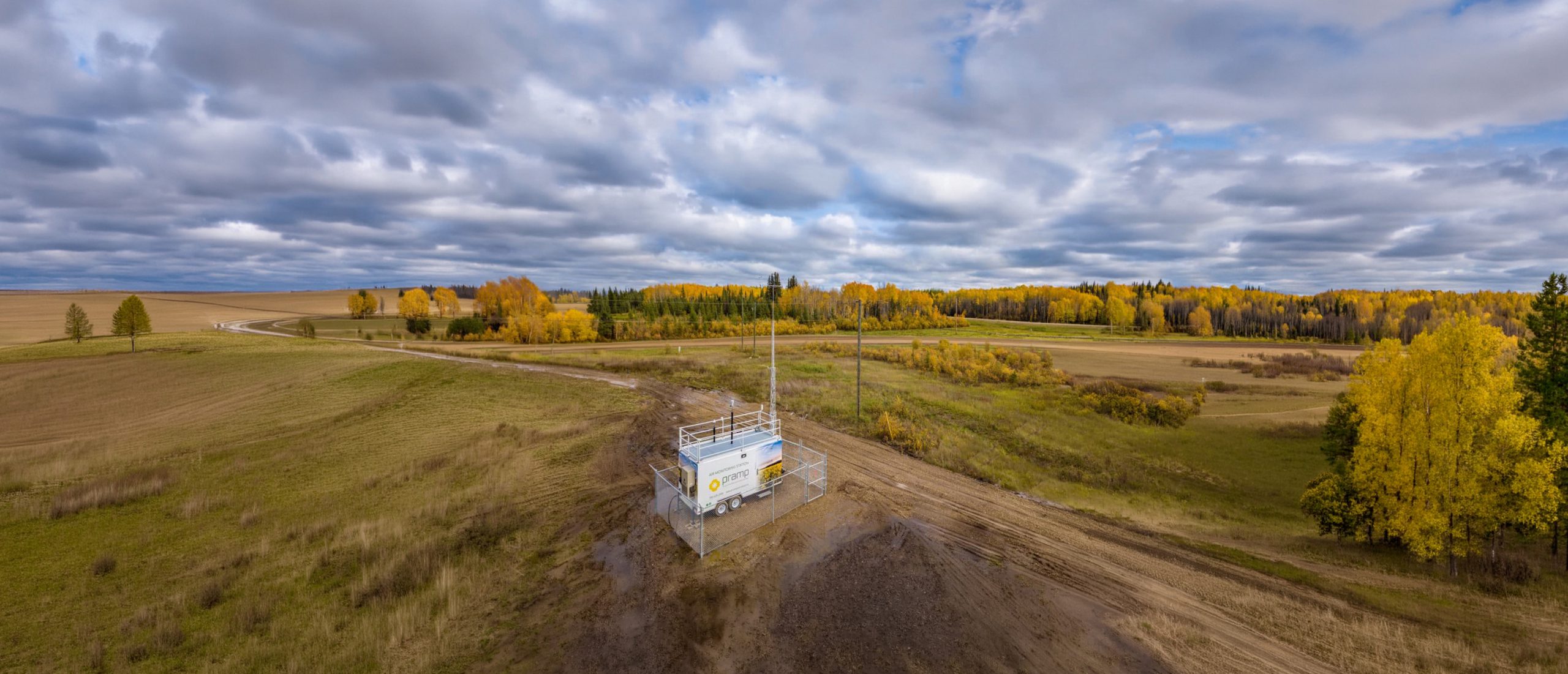
PRAMP monitors ambient air across the Peace River Region year‑round using a network of continuous stations, passive monitors, microsensors, and canister sampling. Click a station icon to explore our boundaries and monitoring locations and view live AQHI data.
Click on the icons in the legend to filter which monitoring sites are shown on the map.
 All Sites
 Continuous Monitoring
 Microsensor Monitoring
 Passive Monitoring
Click map icons to view site data. Any location with a number has a current AQHI indicator, which corresponds to the numbers on the following index.
View data trends over time for selected monitoring stations using the Data Visualization tool tabs below.
Click on the numbers below to view associated air quality health messages.
Low Risk 1-3 Moderate Risk 4-6 High Risk 7-10 Very High Risk 10+
Low
Risk
1-3
At Risk Population
Enjoy your usual outdoor activities.
General Population
Ideal air quality for outdoor activities.
Low
Risk
1-3
At Risk Population
Enjoy your usual outdoor activities.
General Population
Ideal air quality for outdoor activities.
Low
Risk
1-3
At Risk Population
Enjoy your usual outdoor activities.
General Population
Ideal air quality for outdoor activities.
Moderate
Risk
4-6
At Risk Population
Consider reducing or rescheduling strenuous activities outdoors if you are experiencing symptoms.
General Population
No need to modify your usual outdoor activities unless you experience symptoms such as coughing and throat irritation.
Moderate
Risk
4-6
At Risk Population
Consider reducing or rescheduling strenuous activities outdoors if you are experiencing symptoms.
General Population
No need to modify your usual outdoor activities unless you experience symptoms such as coughing and throat irritation.
Moderate
Risk
4-6
At Risk Population
Consider reducing or rescheduling strenuous activities outdoors if you are experiencing symptoms.
General Population
No need to modify your usual outdoor activities unless you experience symptoms such as coughing and throat irritation.
High Risk
7-10
At Risk Population
Reduce or reschedule strenuous activities outdoors. Children and the elderly should also take it easy.
General Population
Consider reducing or rescheduling strenuous activities outdoors if you experience symptoms such as coughing and throat irritation.
High Risk
7-10
At Risk Population
Reduce or reschedule strenuous activities outdoors. Children and the elderly should also take it easy.
General Population
Consider reducing or rescheduling strenuous activities outdoors if you experience symptoms such as coughing and throat irritation.
High Risk
7-10
At Risk Population
Reduce or reschedule strenuous activities outdoors. Children and the elderly should also take it easy.
General Population
Consider reducing or rescheduling strenuous activities outdoors if you experience symptoms such as coughing and throat irritation.
High Risk
7-10
At Risk Population
Reduce or reschedule strenuous activities outdoors. Children and the elderly should also take it easy.
General Population
Consider reducing or rescheduling strenuous activities outdoors if you experience symptoms such as coughing and throat irritation.
Very High Risk
+
At Risk Population
Avoid strenuous activities outdoors. Children and the elderly should also avoid outdoor physical exertion.
General Population
Reduce or reschedule strenuous activities outdoors, especially if you experience symptoms such as coughing and throat irritation.
Select the station to view its data below
Air Quality:
Meteorological Parameters:
Select a start and end date, then click Update.
Loading...
Loading...
Data Disclaimer: Near-real-time monitoring data are preliminary and may change following quality assurance and validation. Temporary data gaps or anomalous values may occur due to instrument maintenance, calibration or communication issues. These data are provided for general information and should not be relied upon as the sole basis for regulatory, health or emergency decisions.
Each continuous monitoring site has its own documentation that provides information on location, description, influences, instruments, and any revisions to the station.